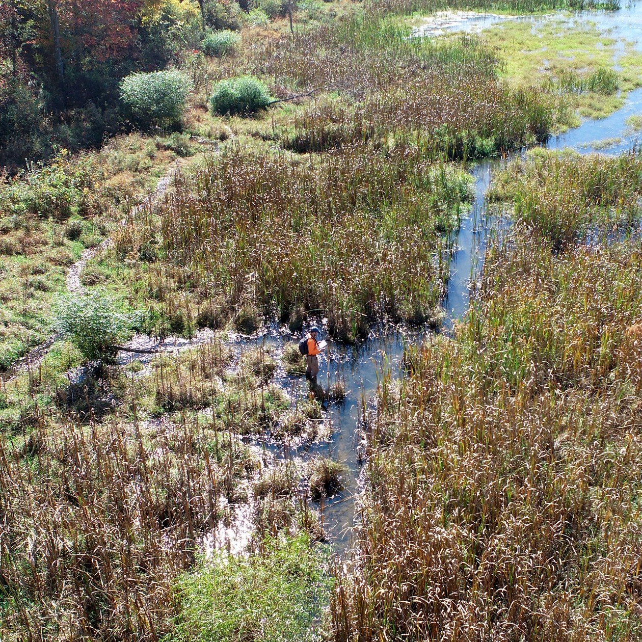
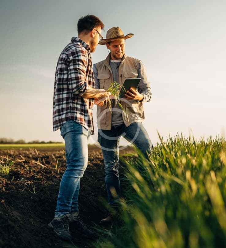
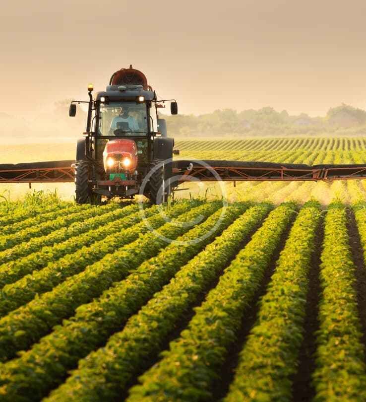
Wetland expertise Delineation and planning with the field in view Field investigations Document soils, hydrology, and vegetation to identify potential wetland areas. Wetland delineation Map boundaries and record field data for planning and review. Jurisdictional support Prepare clear findings to support agency coordination and permit decisions. Mitigation monitoring Track wetland conditions and restoration performance over time. Fresh farmedGreen waysPure earthsCrop growth Tracing the roots of Agrarianu2019s vision Growing organic impact for future harvests How we work From field findings to practical next steps Investigate Review site history, map resources, and complete field investigations. Delineate and map Record boundaries and GPS data in clear project deliverables. Support decisions Use the findings in design, permitting, mitigation, and follow-up monitoring. Organic solutions Shaping a future with better harvests Green promise We help farmers thrive, every day. Learn More Farming guidance We share expert advice for your farm. Learn More Soil wisdom Discover custom agro plans for you. Learn More Have questions? Get in touch!